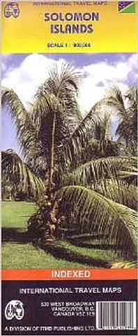
Solomon Islands - folded map by ITM
Folded travel map in color. Includes historical footnotes including the Solomon Islands’ role in WW II, adventures of early European explorers, and tales of castaways. The map distinguishes main roads from other types of roads and tracks. Icons locate international and domestic airports, diving, caves, shipwrecks, hospitals, beaches, accommodations. Tints of color show elevations. Inset maps of Rennell Island, the Santa Cruz Islands, Guadalcanal and Honiara. Honiara map locates places to stay, museums, banks, churches, embassies, gas stations, important buildings, places of interest, post offices, restaurants, visitors’ bureaus. Index of place names. Scale 1:900,000. Legend in English.
PRICE INCLUDES POSTAGE AND HANDLING


Connect with us...