Baltic States - Estonia, Lativia, Lithuania

Best map of these 3 countries. Now back in stock.
This Baltic States map from Michelin is part of their red national map series. These are perfect for route planning as well as getting around by car once you’re there. They clearly mark out major roads and also show many of the more important minor roads. The map covers Estonia, Latvia, and Lithuania and includes several insets showing Tallinn at 1:10 000, Riga at 1:10 000 and Vinius at 1:10 000.

The map also features:

Political boundaries
Regional and National Parks
Important sights such as castles, ruins, and churches
Driving Times and Distances
Road Safety Information
A legend in multiple languages (Dutch, English, French, German and Spanish)

Michelin reference no. 781
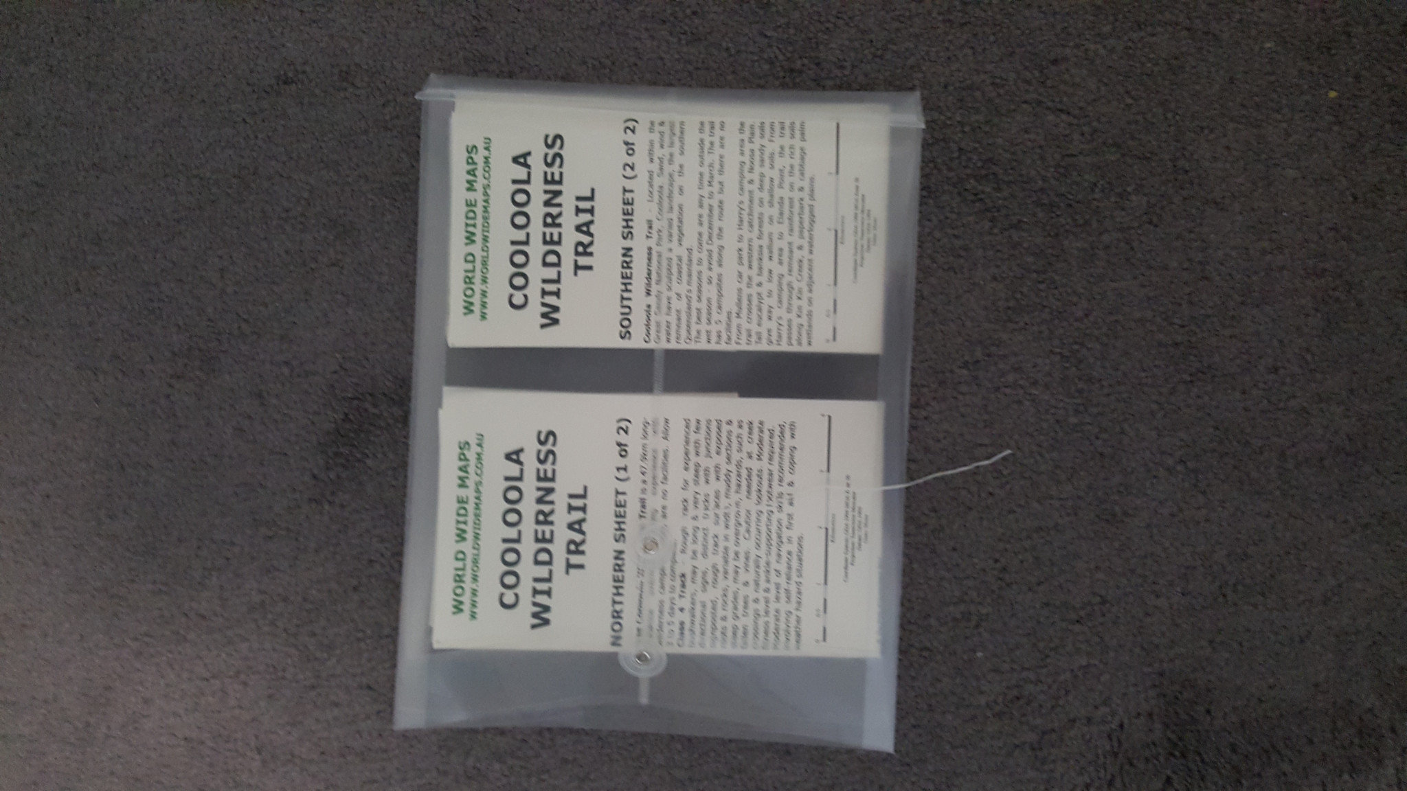
Cooloola Wilderness Trail

We have published a brand new product – a 2 sheet 25k topo map product of the beautiful Cooloola Wilderness Trail.

The Cooloola Wilderness lies north of the Sunshine Coast, its mainland section protected by Great Sandy National Park. The 48‑kilometre Cooloola Wilderness Trail (approximately three days) runs across a landscape of perched lakes, rainforest, flowering heathland and the headwaters of the Noosa River. Starting off at Rainbow Beach Road in the north and finishing at Elanda Point, on the shore of Lake Cootharaba, in the south, popular campsites en route are Wandi Waterhole (a great place for a swim), and Harrys Hut with tranquil Noosa River scenery.

Enjoy the great outdoors with good quality topo maps.

Sunshine Coast Wall Map

See our new Sunshine Coast laminated wall map. The only one on the market. See it here:
http://www.worldwidemaps.com.au/products/sunshine-coast-queensland-wall-map

Topo Maps for Popular Bush Walking Areas

World Wide Maps has begun producing a topo map series from the latest topo map data. The maps are specifically focussed on the most popular bush walking areas.
First two maps are of:
Lost World and the Stinson Wreck area in South East Queensland on the Border Ranges and
the popular walks Binna Burra to OReilly and back and the surrounds.

Usually these maps require 2, 3 or 4 published maps. NOW ALL ON ONE MAP SHEET.

ENJOY

Family Bushwalks in South East Queensland

A packed new bushwalking guide for families – at last! Well done to the authors Mark Roberts and Gillian Duncan.

A guidebook of shorter, easier, more accessible family-friendly bushwalks in South East Queensland.
How is this book different from the other bushwalking guides?

It’s bang up to date
It only covers easier, shorter bushwalks
It only covers easily accessible bushwalks, you don’t need a 4WD
Every bushwalk is illustrated with a brand new finely detailed topographic map
It covers every qualifying bushwalk in the region
It has a family orientation – you don’t need to be a serious hiker to enjoy it
What area does it cover?

North to Noosa and Kin Kin
South to the border
West to Gatton
East to North Stradbroke Island
Does the book have bushwalks in my region?

Brisbane City – 73 walks
Gold Coast – 30
Ipswich City – 12
Lockyer Region – 1
Logan City – 16
Moreton Bay – 29
Redland City – 24
Scenic Rim – 22
Somerset Region – 3
Sunshine Coast – 75 walks

Who will enjoy the book?

Families looking for adventure and exercise
Birdwatchers, naturalists
Trail runners
Schools, Scouts, Guides
Geocachers

Mount Superbus Bush Walks Map

We have just developed and released a new topo map of the Mount Superbus area showing the Lincoln Wreck and Mount Superbus circuit as well as the Steamers walk.
A3 pocket map size when folded with 25k topo map as main map and a location map on the reverse side showing how to get to the start of the walks. All similar to our Mount Barney series of Bush Walk maps.
We hope you enjoy.

Easter Camping

All stocked up with topo maps for Easter bush walking. Enjoy.

World Mural Maps

We now have 2 styles of huge wall maps of the world – murals – from National Geographic.

Mural Size: 2946mm x 1930mm (Comes rolled in 3 separate sheets – 3 durable latex coated panels) – has directions for hanging like wallpaper.

Executive/Antique style or Blue Ocean style.

These up to date world maps are endowed with the cartographi8c detail, accuracy and artistry for which National Geographic is known.

Lake Monduran & Lake Awoonga

Just put up some new stock onto our website.
Fishing maps of Lake Monduran near Bundaberg and Lake Awoonga near Gladstone.
These maps make it so much easier and so much safer for boating and fishing on these dams.
With GPS coordinates, Fishing spots, Local Names, Original river bed marked, etc. All marked up on aerial photography.

Good luck with the fishing!

New topo maps - Samsonvale and Kipper Creek

Replacing maps that were 25 to 35 years old, these two new standard topo maps at 1:25,000 scale are up to date to 2014 and have been enhanced with several of the most popular bush walks highlighted on the map. There are also useful links to websites for other more detailed walks information and to make camp site bookings.