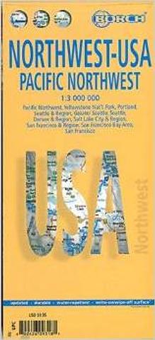
USA - 1. Northwest USA 1 - Pacific Northwest
Folded road and travel map in color. Scale 1:3,000,000. Distinguishes roads ranging from expressways to secondary roads. Legend includes international/regional airports, sights, museums, monuments, churches, chapels, zoo, skiing areas, lighthouses, caves, beaches, bus stations, golf courses, national parks, national monuments, nature reserves, camping sites, ranger stations, waterfalls, hotels, shopping malls, markets, prohibited areas, indian reservations, mountain passes. Includes inset map of Yellowstone Nat’l. Park (1:1,000,000), Portland (1:20,000), Seattle & Region (1:1,000,000), Greater Seattle (1:350,000), Seattle (1:13,000), Denver & Region (1:1,000,000), Salt Lake City & Region (1:1,000,000), San Francisco & Region (1:1,000,000), San Francisco Bay Area (1:400,000), San Francisco (1:15,000). Climate charts show the average daily temperatures, humidity, hours of sunshine and precipitation for each month.
PRICE INCLUDES POSTAGE AND HANDLING
This item is out of stock
We hope to have more stock in very soon. If you have any questions about this product, please contact us.

Connect with us...