Temporary Part Closure

We are currently travelling and undertaking research for our maps. Only Queensland Topographic Maps and New South Wales Topographic maps will be available until December 2023. Sorry for any inconvenience.

D'Aguilar NP Mt Mee Section Topo Maps

Get out and explore around Brisbane’s North.

World Wide Maps has producted two new 1:25,000 scale topo maps of the D’Aguilar National Park Mt Mee Section. One centred on the northern part of the park Neurum town to Falls Lookout. The other centred on The Gantry in the mid section of the park.

See these links:
https://www.worldwidemaps.com.au/products/d-aguilar-np-mt-mee-section-topo-map-neurum-to-falls-lookout
https://www.worldwidemaps.com.au/products/d-aguilar-np-mt-mee-section-the-gantry-centred

Binna Burra to O'Reilly's Great Walks

1:25,000 scale new topo map of Binna Burra to O’Reilly’s to Point Lookout on the scenic rim in the Gold Coast Hinterland in South East Queensland. Includes The Lost World, Sinson Wreck, Westrays Grave, the Great Walk, the Border Track and much much more.

Springbrook to Binna Burra Great Walk

1:25,000 scale new topographic map showing the Scenic Rim and bush walks includuing the Great Walk from Springbrook to Binna Burra. Includes Purlingbrook Falls, Border Track, Natural Bridge and many more fabulous walks in the Gold Coast Hinterland.

Travelling Spain and Portugal this summer in Europe?

Try our new map of Spain and Portugal by Marco Polo Maps:

https://www.worldwidemaps.com.au/products/spain-and-portugal-marco-polo-maps

Marco Polo maps feature completely up-to-date, digitally generated mapping. The high quality cartography with distance indicators and scale converters aid route planning. Contains city maps of: Valencia, Barcelona, Granada, Malaga, Alicante, San Sebastian, A Coruna, Porto, Coimbra, Lisboa, Sevilla and Madrid. A fold-out overview map is ideal for route planning and 7 self-adhesive Marco Polo mark-it stickers can be used to pin-point a destination or route for future reference. Scenic routes and places of interest are highlighted – ideal for touring holidays. Comprehensive index. The map scale is 1: 800 000.

Travelling South Africa - Try this road atlas!

Glove Box sized spiral bound road atlas – Detailed maps of South Africa at 1:1 500 000 – detailed & continuous map section; 7 major tourist areas – Cape peninsula; South Western Cape & Overberg; Garden Route; Gauteng; Kruger National Park; Drakensberg; Kwazulu-Natal Coast; 11 street maps – Pietermaritzburg; Durban; Nelspruit; Polokwane; Pretoria; Johannesburg; Bloemfontein; Kimberley; East London; Port Elizabeth; Cape Town. Includes: freeways; National roads; Route numbers; Nature reserves & parks; Places of interest; Tourist information; Index to place names; Co-ordinates.

PRICE INCLUDES POSTAGE AND HANDLING

SLOWER TURN AROUND TIME

PLEASE NOTE THAT OUR TURN AROUND TIME FOR ORDERS WILL BE SLOW FROM 27TH MARCH 2018 TO 24TH APRIL 2018. SORRY FOR ANY INCONVENIENCE. SO PLEASE ORDER EARLY.

Mount Barney Mount Maroon and Upper and Lower Portals Topographic Map


This is a new first for World Wide Maps! Mount Barney, Mount Maroon and Upper and Lower Portals all on one topographic map!

Key walks are marked with short descriptions and advice on how to get there.

This is a full sized (A1) 1:25000 scale topographic map with 3 of South East Queensland’s most popular walking areas all on one topo map.

This is the SEQ bushwalker’s must have map!

There are numerous walks contained within this topographic map area.

If you are going walking anywhere in this area of South East Queensland – you NEED this map!

Kyoto City Map

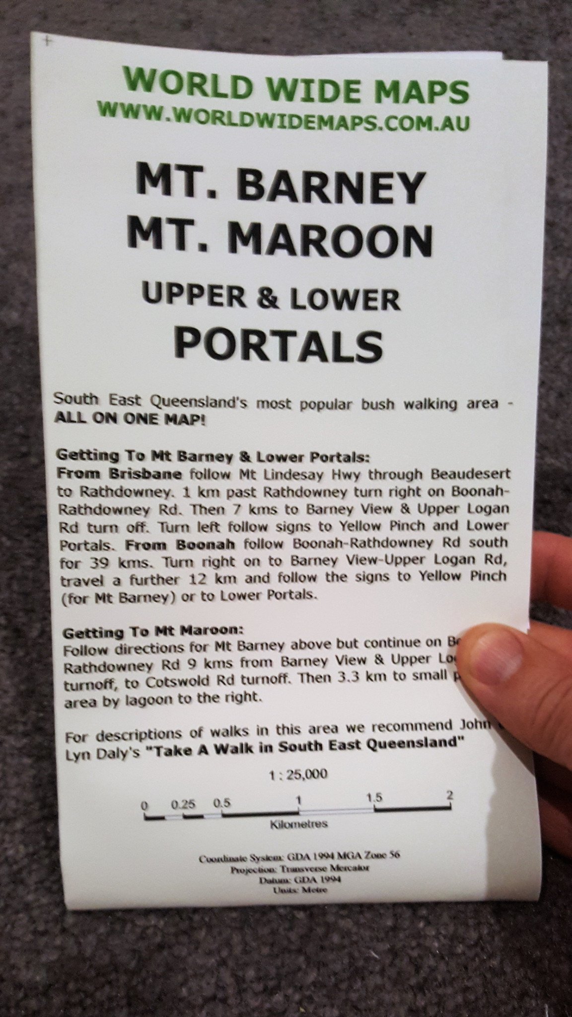
The Kyoto Travel Map from Periplus is designed as a convenient, easy-to-use tool for travelers. Created using durable coated paper, this map is made to open and fold multiple times, whether it’s the entire map that you want to view or one panel at a time.

Following highways and byways, this map will show you how to maneuver your way to banks, gardens, hotels, golf courses, museums, monuments, restaurants, churches and temples, movie theaters, shopping centers and more!

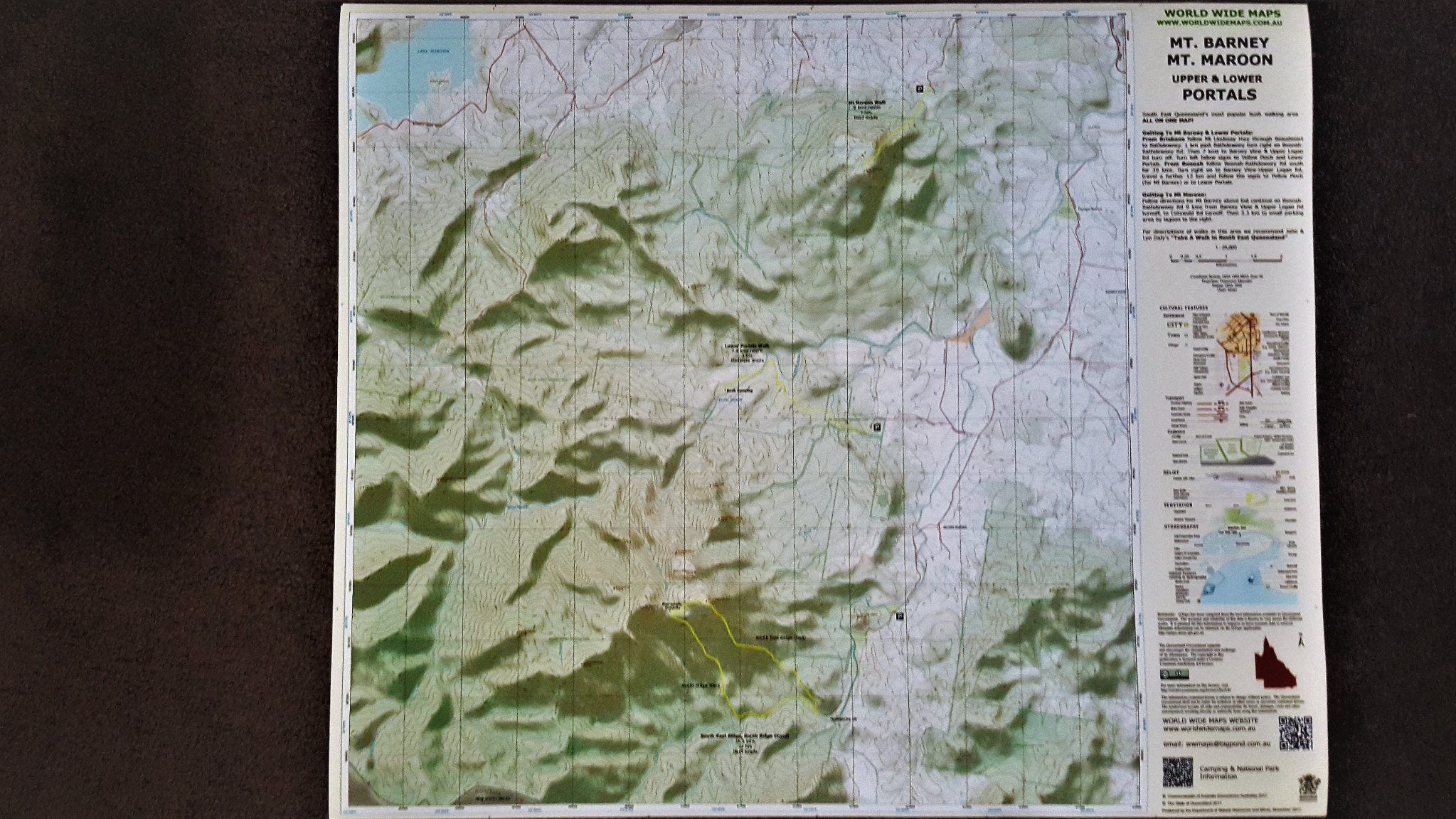
This 4th edition includes maps and plans that are scaled to:

City Plans:
Central Kyoto 1:20,000
Greater Kyoto 1:55,000
Kawaramachi & Gion 1:10,000
Nara 1:17,500
Area Map:
Kansai 1:250,000

Greater Brisbane Wall Map

Super sized wall map of Greater Brisbane. Coomera to Bribie. 1000mm x 1400mm
Ideal for businesses.

https://worldwidemaps.spiffystores.com/admin/pages/21175/articles/new#